Wine Folly has done it again. By it, we mean making wine more accessible. And by again, we mean by designing this brand-new resource guide, showcasing the history, but also the present, of the Walla Walla Valley AVA.
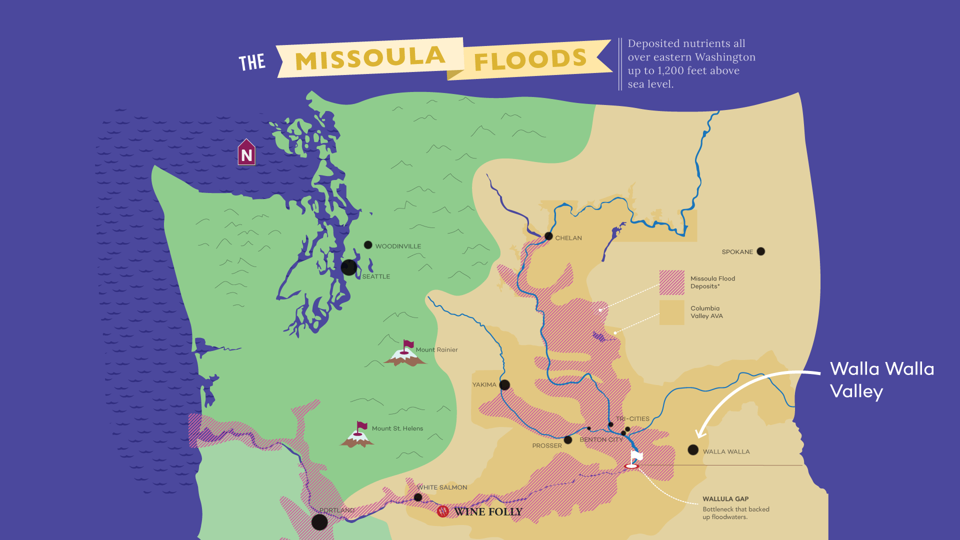
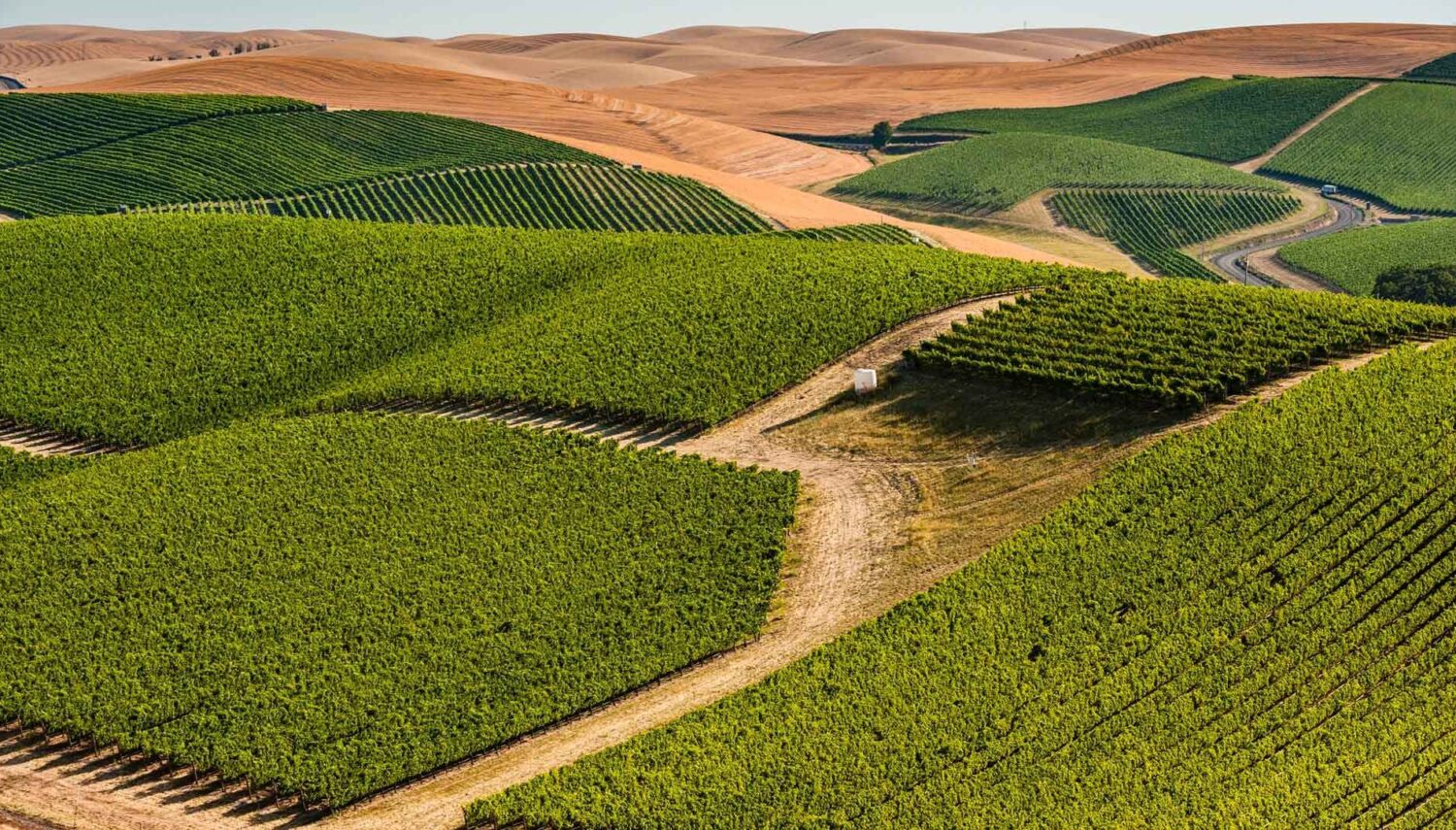
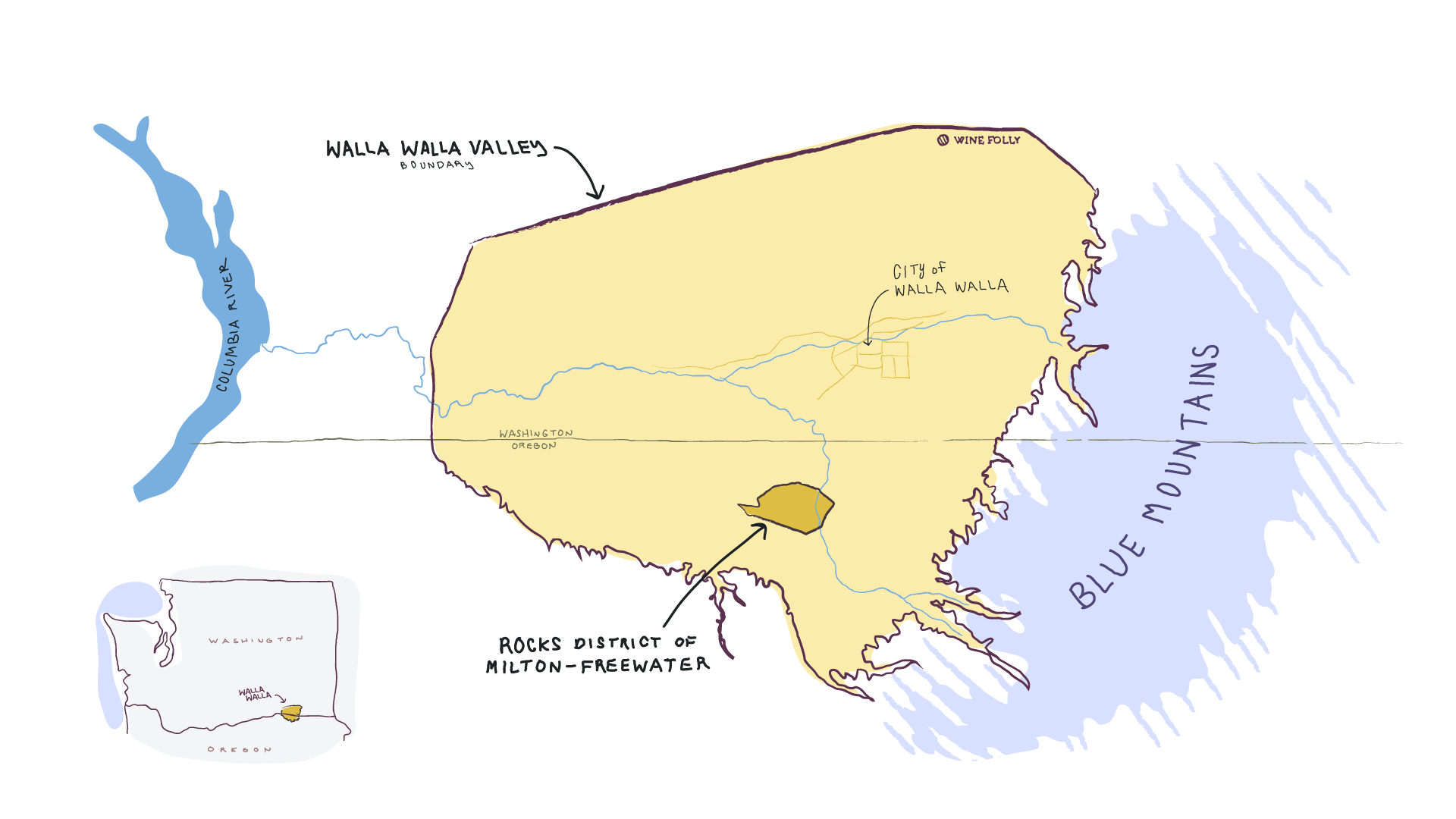
And in true Wine Folly form, visual storytelling leads the way. Walla Walla is a quaint wine valley sitting on the far eastern edge of Oregon and Washington, but just what does that look like? Answer: An island of wine in a sea of wheat. Or as they describe it on this new interactive website, “One moment you’re driving through endless rolling wheat fields and then pow! Wine country. In this way, Walla Walla Valley is like an island of wine in a sea of wheat.”
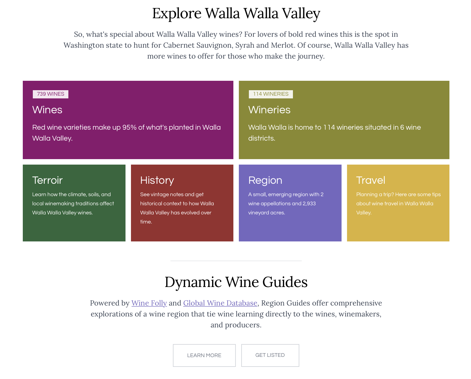
This guide is as entertaining as it is information, providing insight into the wines and wineries, terroir and history, region and travel. To learn more about the Walla Walla Valley through this guide, visit it at wallawalla.guides.winefolly.com.