
Location: South central Washington
Designated: 2026
Total Size: 29,387 acres
Acreage Under Vine: 300 acres
Top Varieties: Cabernet Sauvignon
Soils: Wind-deposited silt and sand overlying basalt
bedrock and flood-deposited gravels
Average Annual Precipitation: 10 inches
Two Things to Know:
- 80% of the AVA lies within a mile or less of the Columbia River, which in result moderates temperatures.
- The appellation gets its name from a 35-mile-long ridgeline that parallels the north side of the Columbia River.
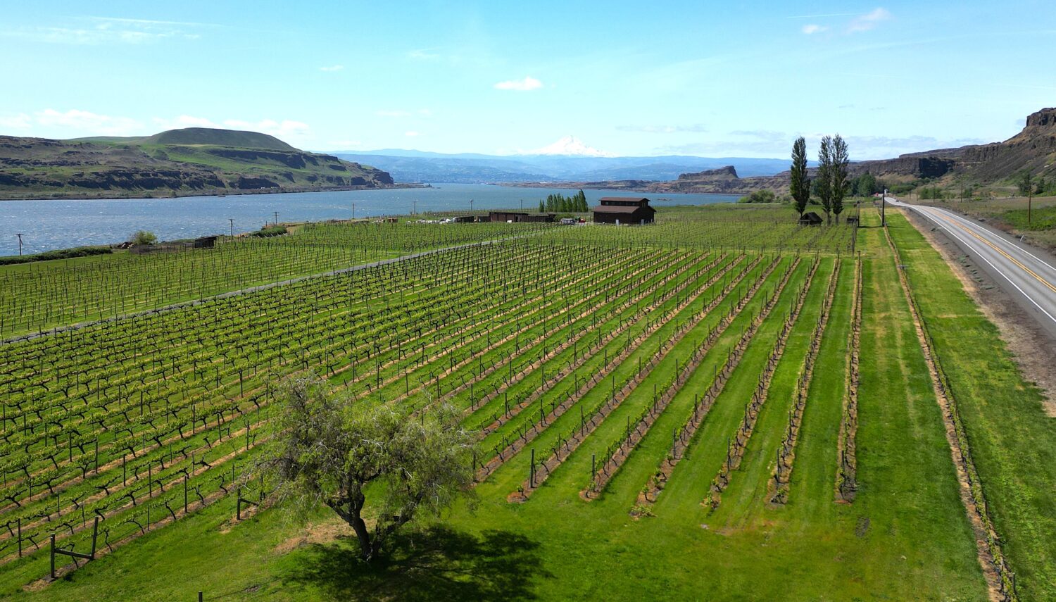
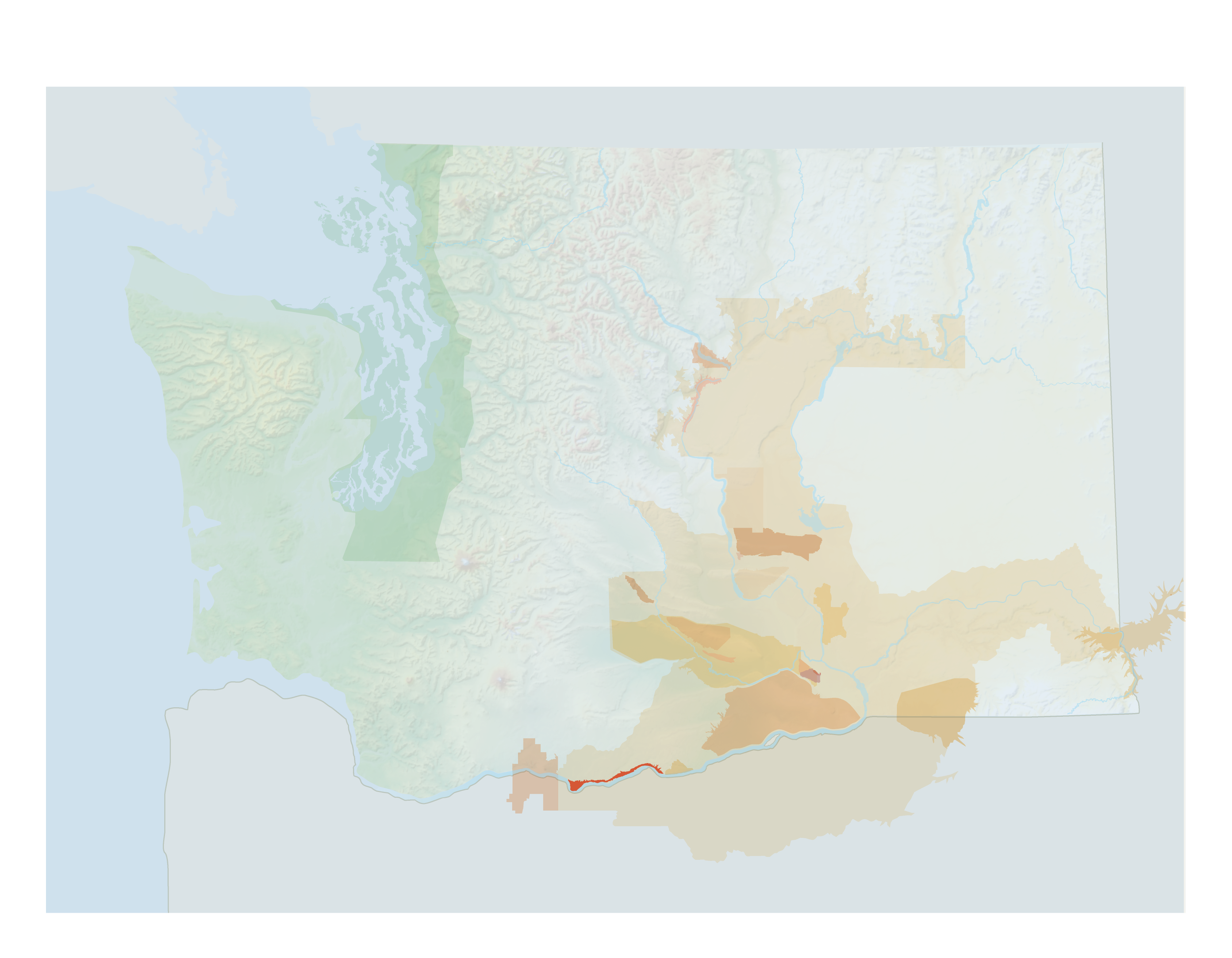
The Columbia Hills appellation is located in south-central Washington between the Columbia Gorge to the west and The Burn of Columbia Valley directly to the east. It is wholly contained within the larger Columbia Valley.
The Columbia Hills appellation gets its name from a 35-mile-long ridgeline that parallels the north side of the Columbia River. This ridgeline runs between Rowena Gap and the mouth of Rock Creek. The Columbia Hills is bounded on the south by the Columbia River; it is bounded to the north by the 1,050 foot (320 meter) elevation line, which is the highest level reached by the Missoula Floods in this region.
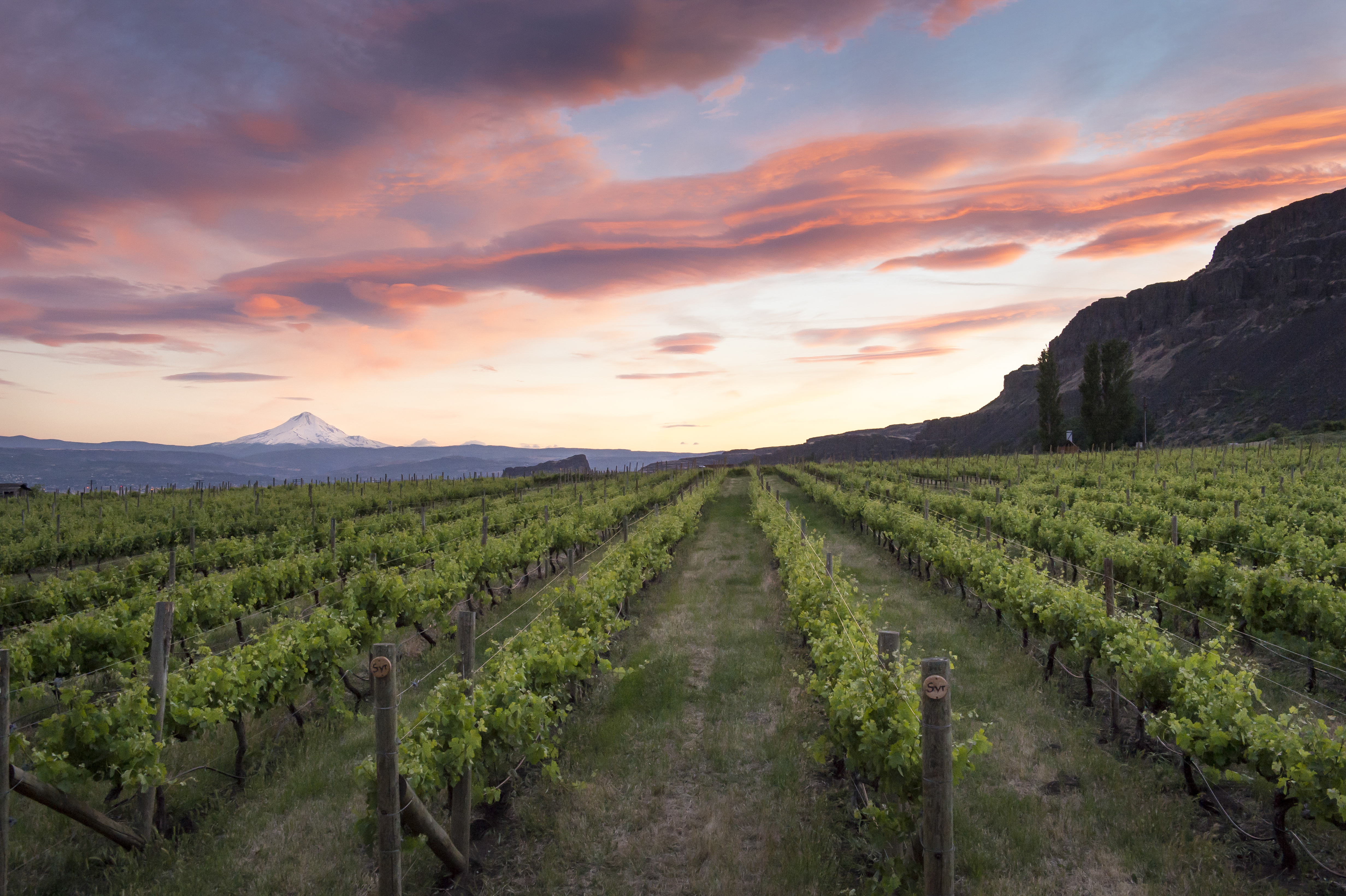
The Columbia Hills has four key characteristics as a growing region. They are its south-facing slopes, proximity to the Columbia River, low elevations, and shallow soils.
First, the appellation is entirely situated on southern slopes of the Columbia Hills. This provides ideal sun exposure for growing wine grapes. Erosion by the Missoula Floods created a series of stepped terraces on these slopes. These terraces provide prime locations for vineyards in what is otherwise a steeply sloped valley.
Second, the vast majority of the appellation, fully 80%, lies within a mile or less of the Columbia River. As a result, the river moderates temperatures. Specifically, Columbia Hills has warmer temperatures during the growing season, particularly in early morning hours, relative to nearby areas. The proximity to the river also extends the growing season in this region.
Third, the appellation generally is lower in elevation compared to many areas of the broader Columbia Valley. Elevations range from 74 feet to 1050 feet above sea level.
Fourth, the soils in the Columbia Hills are often shallow. This allows vines to interact with the basalt bedrock, which is unusual for many regions in the Columbia Valley. The soils in the Columbia Hills appellation are also coarser than elsewhere in the Columbia Valley. As a result, the soils are extremely well-drained.
Speaking generally, the soils in the Columbia Hills consist of wind-deposited silt and sand overlying basalt bedrock and flood-deposited gravels. More specifically, there are two major soil units.
Most of the soils are Cheviot-Horseflat- Rockly-Kiona unit. These are well-drained soils derived from basalt mixed with loess, which is windblown sand and silt. In the western portion of the appellation, the soils are Ewall-Dallesport-Rock Outcrop unit. This is wind-deposited sand over basalt bedrock and gravel bars left by the Missoula Floods.
At 29,387 total acres, the Columbia Hills is a relatively small appellation.