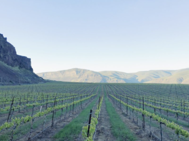
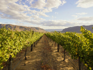
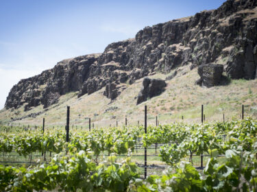
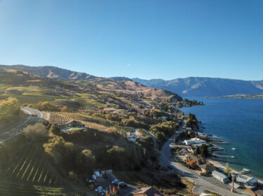
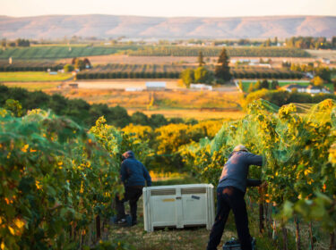
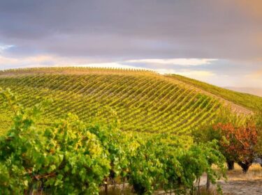
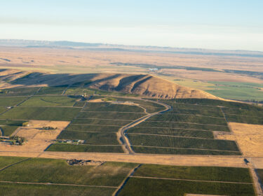
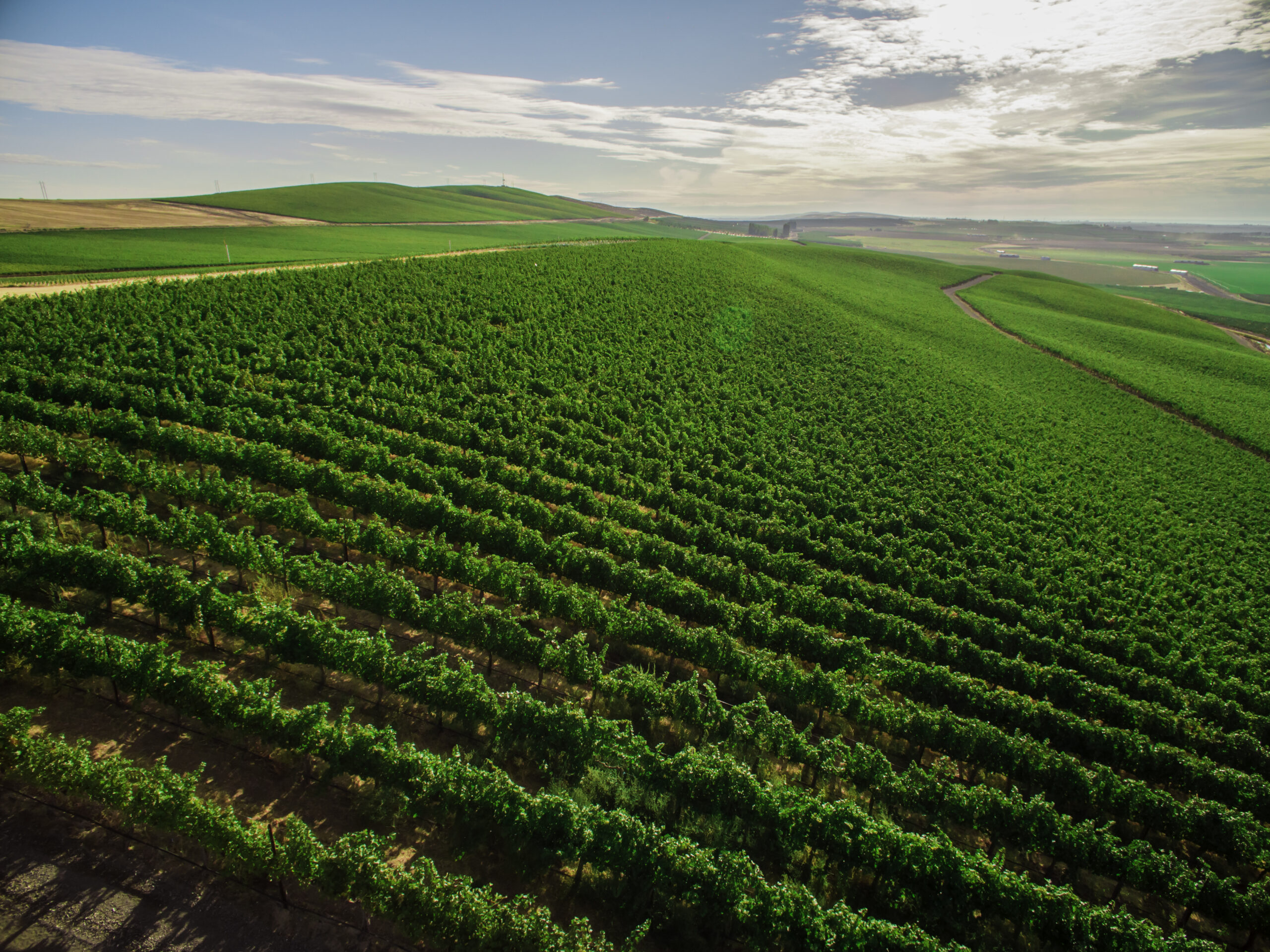
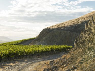
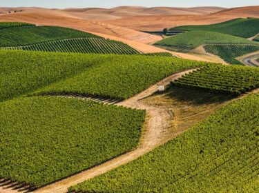
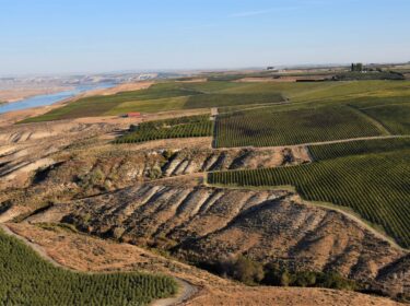
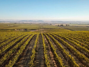
Washington is home to a diverse group of growing regions, which vary significantly by the amount of area they encompass, their climate, soils, and what is planted there. This diversity is one of the reasons such a large number of varieties succeed in Washington. While some of these regions might have relatively small amounts of acreage planted compared to others, that acreage can sometimes make some of the state’s best wines.
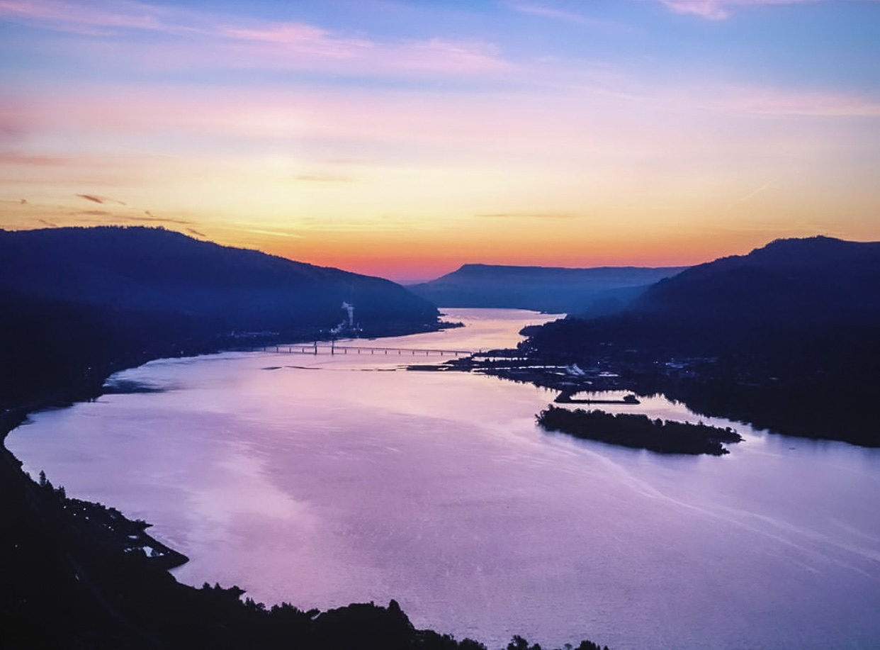
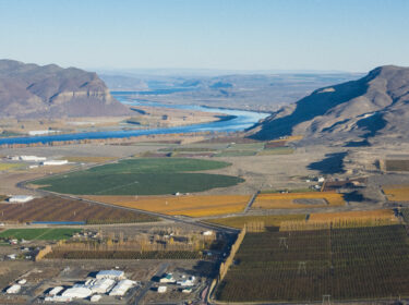
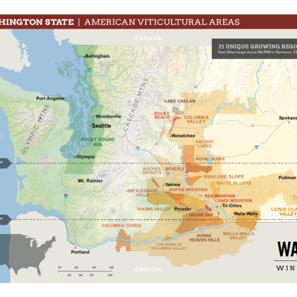
Of Washington’s 21 AVAs, four of them are cross-border appellations. Columbia Valley, Columbia Gorge, and Walla Walla Valley are shared with Oregon. Lewis-Clark Valley is shared with Idaho. You can see those four AVAs spilling over into Oregon and Idaho below, as well as an overview of the other AVAs in our state.
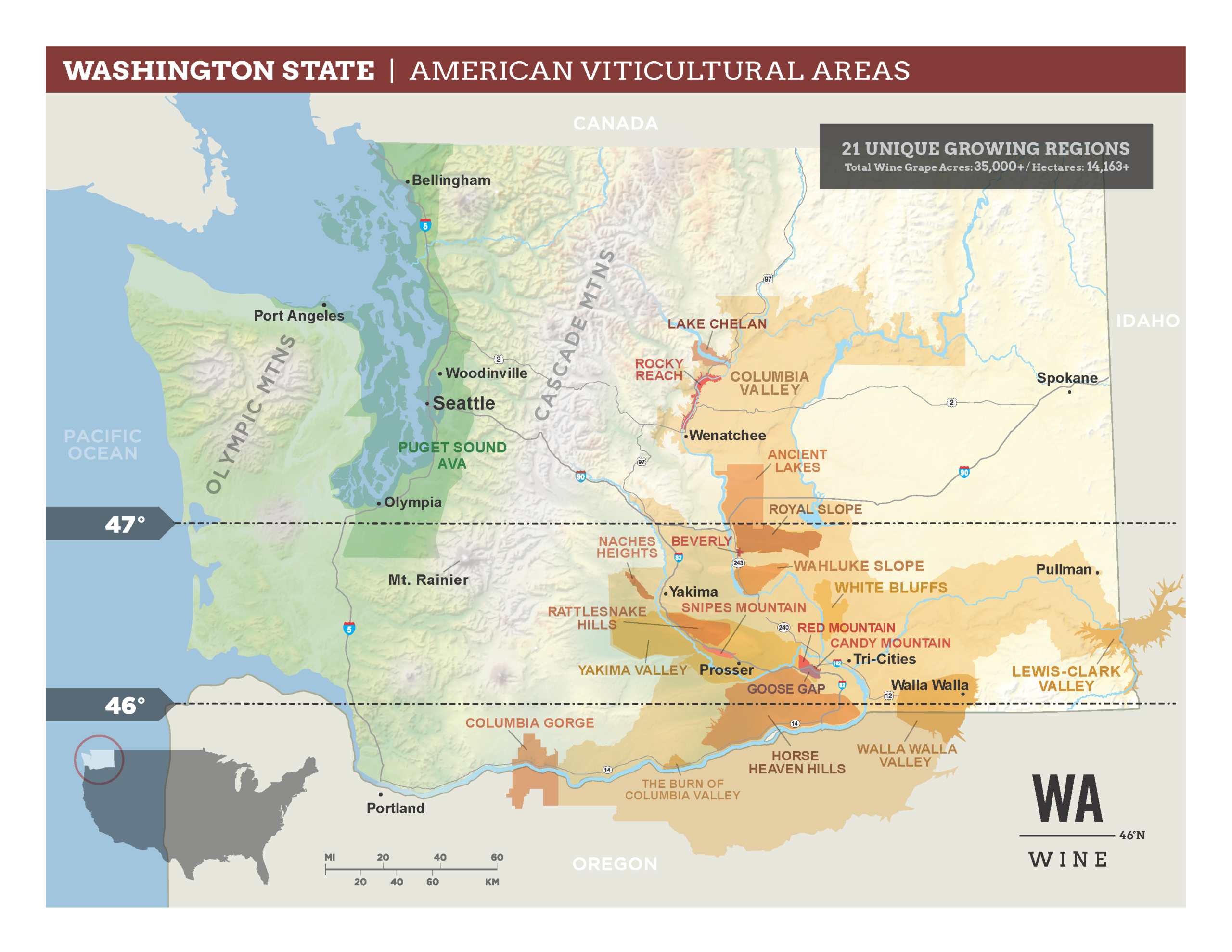
Washington State currently has 21 AVAs. There is so much history hidden in the evolution of our grape-growing regions. Starting with Yakima Valley in 1983, and most recently adding Beverly, Washington AVA in 2024. For some, this may be your first foray into AVAs, viticulture, and/or the wine industry. It can be hard to pull apart all of this information, and make sense of the differences. Below are a few ways of approaching this complex topic of categorizing grape-growing regions:
- Appellations and Sub-Appellations: When it comes to AVAs in Washington State, the first thing to understand is that the Columbia Valley AVA, which was established in 1984, contains 99% of the grapes grown in Washington State. Inside the Columbia Valley AVA, however, you have what are called sub-appellations, which are their own federally-recognized AVAs, wholly-contained inside the boundaries of the Columbia Valley AVA.
- Chronology Matters: Though Columbia Valley encompasses almost all of Washington’s other grape growing regions, Yakima Valley was actually the state’s first federally recognized AVA, established in 1983. Over time, much like the larger Columbia Valley, Yakima Valley has been sub-divided. It now includes four sub-appellations: Red Mountain, Snipes Mountain, Rattlesnake Hills, and Candy Mountain. This reflects a larger trend in the state. As we continue to grow, our grape growing regions become further defined as we learn more, plant more, and continue to experiment and innovate. The results lead us to unknown heights, both literally and figuratively. See the order of AVAs in the chart below.
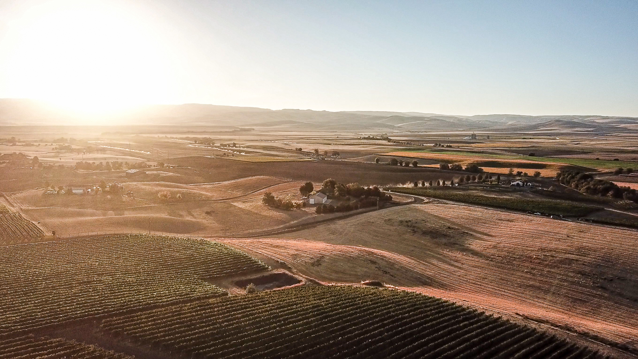
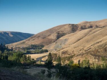
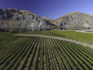
- What’s The Difference? A lot happens in a mile. In the Columbia Gorge, for example, grapes one mile away from each other have a completely different growing experience. So imagine what 261 miles does to grapes (which is the distance between Lake Chelan and the Columbia Gorge). Bottom line, to qualify as an AVA a wine grape-growing region must be proven to be distinguishable by features such as climate, soil, and elevation.
There is so much unique beauty scattered across our state, but we hope this gives you some initial footing into what makes Washington Wine so distinct. To get to know our AVAs in further depth, see the full-length features of each AVA as well as the chart below which shows a comparison of the regions.
A Quick Look at our 21 AVAs
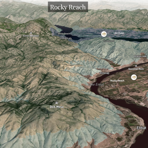
WA Wine 360: A 3D view of our Regions